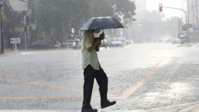
MANILA – A low pressure area (LPA) last spotted 160 kilometers east of Calayan, Cagayan, and the southwest monsoon (habagat) will bring rain showers over parts of Luzon, the weather bureau said Thursday.
“This LPA will continue to move westward, and will likely exit the Philippine Area of Responsibility within 24 hours,” said Benison Estareja of the Philippine Atmospheric, Geophysical and Astronomical Services Administration (PAGASA).
Although the LPA has a slim chance of developing into a tropical cyclone, it would bring rains over most areas in Luzon.
Both the LPA and habagat will cause scattered rain showers and thunderstorms over the Ilocos Region, Cordillera Administrative Region, and the provinces of Batanes, Cagayan, Isabela, Zambales, Bataan, Aurora, and Quezon.
Flash floods or landslides are likely during moderate to at times heavy rains.
The rest of the country will experience isolated rain showers caused by localized thunderstorms.
Light to moderate winds and slight to moderate seas will still prevail over the entire archipelago.
Meanwhile, Estareja said cloud clusters over the southeastern part of Mindanao have started to cause rains over the area.
“We are monitoring this. It has a slim chance to develop into a tropical cyclone, but it is possible to develop into an LPA,” he said. (PNA)


