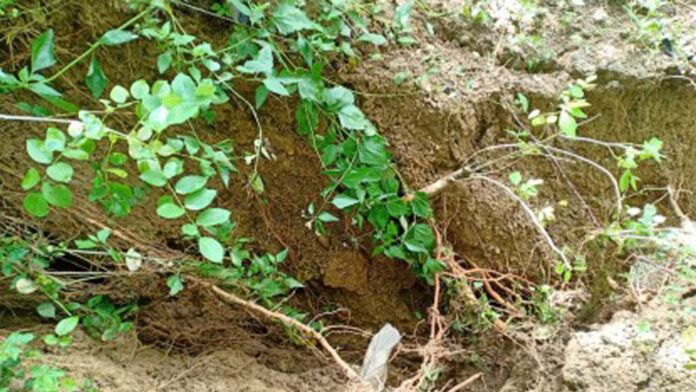
The Provincial Disaster Risk Reduction and Management Office (PDRRMO) of Negros Oriental and its local government unit (LGU) counterparts in the northern part of the province are continuously monitoring ground cracks to help mitigate the possible occurrence of landslides brought by incessant rains.
PDRRMO executive officer Adrian Sedillo, in an interview Monday, said the cracks are “normal occurrences” as ground movement can occur everywhere due to various reasons, but they have to be closely monitored and analyzed by the Philippine Institute of Volcanology and Seismology (Phivolcs) as significant breaks in the ground could lead to loosening of soil that may cause landslides.
He said Phivolcs installed monitoring sensors for landslides in three specific areas in Guihulngan City and La Libertad after the magnitude 6.7 earthquake that struck the province on Feb. 6, 2012.
Negros Oriental is one of the pilot areas for the Phivolcs’ deep-seated early warning system for landslides (DEWSL) program, where sensors automatically transmit data to the agency’s main office, Sedillo said.
“It is designed as an early warning system for landslides and through sensors, Phivolcs in Manila is monitoring the ground movement in three areas in Negros Oriental, namely barangays Mangulyawon of La Libertad and Planas and Humay-humay of Guihulngan City, where the sensors are located,” he said in mixed Cebuano and English.
Because of incessant rains in recent weeks, the Phivolcs, in its recent report to the PDRRMO, said there might be some “significant” ground movement prompting Sedillo and his team to visit these areas last week.
“We went there to verify the reports and partly for our local program to geo-tag significant government installations, to also include roads and other infrastructures, so we can immediately determine their locations when disaster strikes,” he said.
The site inspection, geo-tagging, and risk and vulnerability assessment was conducted in Planas and Humay-humay, in coordination with local government authorities.
“We discovered that somewhere in Planas, near the sensors, that there are ground cracks that appear to be getting bigger although that area was not inhabited,” he added.
Sedillo, however, said according to local residents, these breaks in the ground are connected to the fault lines in the areas.
While these ground cracks do not pose any imminent danger to the public, they need to be studied by Phivolcs to determine if these “fissures” could impact the low-lying and populated villages, he said.
The ground cracks started appearing after the 2012 earthquake although many are underneath, he added.
“Last week man gud, niabot na ug Alert Level 2. Gamay na lang kulang, pwede na nga ipa-evacuate ang mga tawo sa mga affected communities tungod sa padayon nga pag-ulan (Last week, the sensors reached Alert Level 2 and was very close wto warrant the evacuation of residents),” Sedillo said. (PNA)


